Exploring the Rwenzori Mountains
Exploring the Rwenzori Mountains: Commonly referred to as the Mountains of the Moon, they are located along Uganda’s western border with the Democratic Republic of the Congo. With breathtaking glacial scenery and Afro-alpine flora, it is 120 km long and 43 km wide. Frequently, the peaks are obscured by glaciers, snow, and fog. With two trekking choices and a range of family-friendly hiking trails, Rwenzori Mountains National Park is available all year round and offers stunning scenery and thrilling attractions. No passport is needed to climb Margarita Peak, and it is a memorable experience. Almost 100,000 hectares make up the park, which is home to endangered species, rare plants, and Mount Margherita, Africa’s third-highest peak.
Rwenzori Mountain National Park
Rising to a height of about 5,109 metres, Rwenzori Mountain National Park is located in southwestern Uganda, across Uganda’s western border with the Democratic Republic of Congo. The fabled “Mountains of the Moon”, a World Heritage Site, are listed here. Their breathtaking, mist-shrouded summits provide an unparalleled backdrop for our most gorgeous national parks. While the lower slopes of the range are covered in deep forest, some of the peaks in the center, which include Africa’s third-greatest mountain, have glaciers and permanent snow. Although you must be fitter the higher you choose to go, walking trails around the lower slopes do not require alpine skills. The Bujuku circuit is one of the excellent walking trails that offer a stunning and varied landscape.
Exploring the Rwenzori Mountains with Snow-Capped Peaks.
Unlike other high mountains like Kilimanjaro and Mount Kenya, the mountains are not volcanic in origin; rather, they grew as a result of the creation of the East African Rift Valley system. The spectacular snow-capped peaks that form the majestic Rwenzori Mountains are separated by deep canyons, including Mount Stanley, the highest at 5,109 meters; Mount Speke at 4,890 meters; Mount Baker at 4,843 meters; and Mount Emin, Luigi, and Gessi.
Margherita Peak
Margherita Peak, at 5,109 meters, is Africa’s third-highest peak and the highest point on Mount Stanley in the Rwenzori Mountain range. The park is a World Heritage Site that protects the area’s rare plants, animals, and several bird species.
Mount Stanley
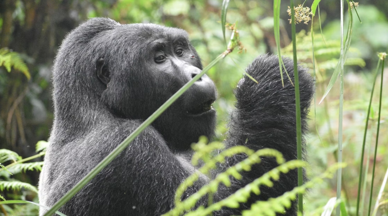
When exploring the Rwenzori Mountains, the range of Mount Stanley, also called Mount Ngaliema, is 5,109 metres high and part of the Rwenzori range. It ranks third among the highest peaks in Africa, after Mount Kenya and Mount Kilimanjaro in Tanzania. The Rwenzori Mountains are shared by two countries, Uganda and the Democratic Republic of Congo. In 1887, these captivating ranges were named after the first explorer, Sir Samuel Baker’s, sightings. They are famously known for their snow-capped peaks, conducive climate, cold weather, and breathtaking views. There are many different kinds of vegetation and animals in the area, such as chimpanzees and elephants. A few of the highlights in Rwenzori Mountains National Park are the snow-capped peaks of Baker and Stanley, as well as lakes like Irene and Kitandara.
The best time to visit the Rwenzori Mountains
The best time to visit the Rwenzori Mountains is during the dry seasons, from mid-December to the end of March and from June through mid-August. June to August and December to February are the perfect times to visit/climb/hike/trek the Rwenzori Mountains National Park; otherwise, it can be visited throughout the year. For mountaineers, the climbing window from June to August is the best time to attempt an ascent of Margherita Peak of the Rwenzori.
How do I get to the Rwenzori Mountains?
To reach Rwenzori Mountains National Park, you can drive for 7-8 hours from Kampala, the capital of Uganda. Alternatively, you can take a charter flight from Entebbe International Airport to Kasese Airstrip and then drive less than an hour to the park. The park is located along the Uganda-Congo border in western Uganda. The main access points are from the Fort Portal-Kasese Road, with Kasese being 375 km from Kampala via Fort Portal and 450 km via Mbarara. The park entrance is 25 km from Kasese town.